SDG indicator 11.3.1: what LCRPGR needs from your land-cover data
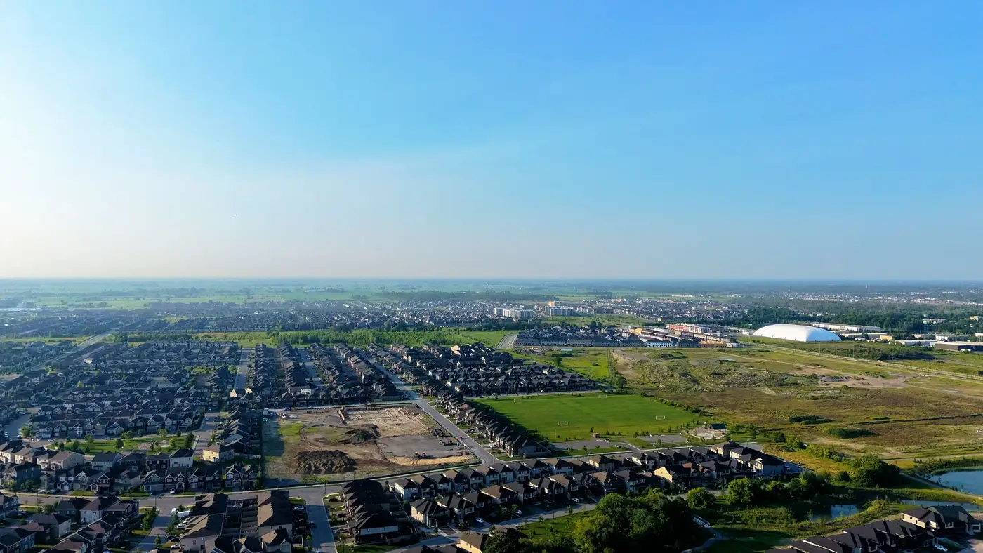
SDG indicator 11.3.1 is the land consumption rate to population growth ratio, usually written LCRPGR. It's one of the two indicators under Target 11.3 (the other is 11.3.2, on civil society participation in urban planning), and it's the one that actually asks for a land-cover number rather than a survey response. If you're the one filling in the national reporting template, this is the line where someone from the geospatial side has to hand you a defensible built-up area figure, not an estimate.
What LCRPGR actually measures
The formula divides the annual land consumption rate by the annual population growth rate over the same period. Land consumption rate is the percentage change in the built-up or urban extent of your reporting unit between two time points, annualized. Population growth rate comes from census or official population estimates for the same unit and the same period.
A ratio above 1 means urban land area is expanding faster than the population living in it, which is the sprawl signal UN-Habitat and UNSD built this indicator to catch. A ratio near 1 means the two are tracking together. Below 1 suggests densification, or a shrinking built footprint against a growing population, which happens in secondary cities more often than people expect.
None of that math is hard once you have two numbers. The population side is usually the easy half; your national statistics office already produces it. The built-up extent side is where most of the actual work sits, and it's the half that geospatial and statistics teams end up arguing about every cycle.
Where the land-cover layer comes in
To get a land consumption rate you need a built-up or urban extent polygon at your baseline year and another at your current reporting year, delineated the same way both times. UN-Habitat's methodology guidance (built on the Atlas of Urban Expansion approach) expects a consistent classification logic across the two dates: same definition of "built-up," same minimum mapping unit, same treatment of scattered rural settlement versus contiguous urban fabric. Change the method between cycles and your ratio stops measuring urbanization and starts measuring the fact that you switched classifiers.
This is also where sub-national reporting gets harder than the headline number suggests. Many countries now break 11.3.1 down by province, region, or metro area for domestic planning use even though the global indicator is reported at national level. That means your built-up extent layer has to be clean enough to aggregate up to the country figure and disaggregate down to administrative units without the two not adding up, which is a surprisingly common failure point when the underlying classification was done as a one-off contract rather than a maintained series.
The practical problem for a lot of environment ministries is that the land-cover layer behind 11.3.1 gets commissioned fresh each reporting cycle, from whichever consultant or project happened to have budget that year. The classification logic drifts, the imagery source changes, and the resulting time series has a visible seam at every commissioning boundary. When a reviewer, a parliamentary committee, or your own minister asks why urban extent jumped 40% in one period and flattened in the next, "different contractor, different method" is not an answer you want to give.
A consistent, annually-refreshed land-cover change layer built from the same wide-swath multispectral source year over year removes that seam. You're not re-litigating the classification method every four years when the UN reporting window comes around; you're pulling the same series forward and reading off the built-up extent for whatever baseline and current year the indicator needs.
What to check before you report the number
Before a built-up extent figure goes into your SDG submission, confirm the minimum mapping unit matches your baseline year's definition, confirm the population figures are drawn from the same geographic boundaries as the land-cover polygons (administrative boundary revisions are a quiet source of error here), and confirm you can trace the built-up class back through the full time series, not just the two years you're citing.
If your national land-cover change figures are still rebuilt from scratch each reporting cycle, it's worth looking at what a maintained annual layer would mean for your next LCRPGR submission.